Description
South West Coast Path Map 1, 2 & 3
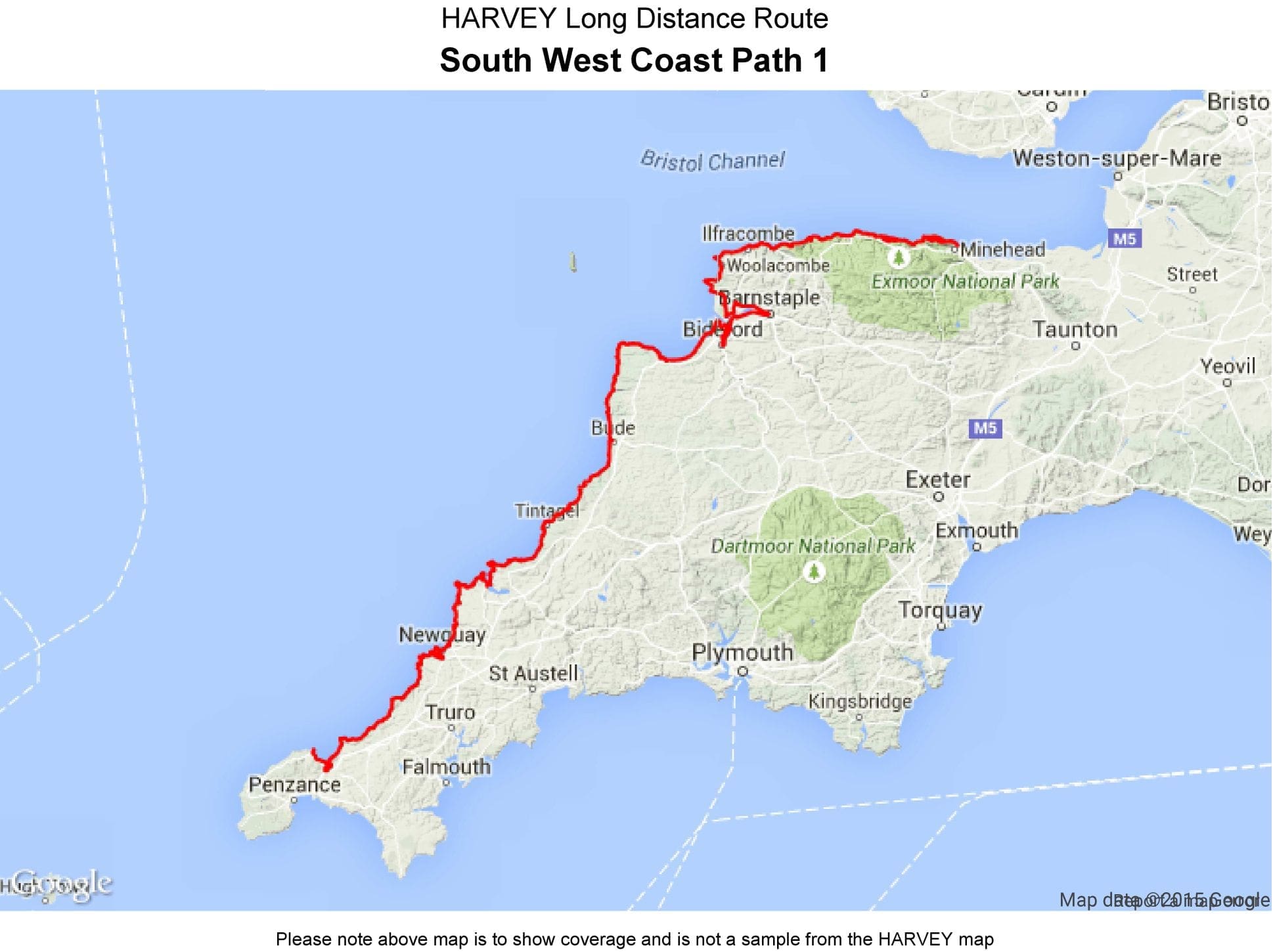
The South West Coast Path is Britiain’s longest and one of its most popular National Trails. It runs along the coast of Somerset, Cornwall, Devon, and Dorset from Minehead round via Land’s End to Poole. It includes all 95 miles of the World Heritage site known as the Jurassic Coast.
3 Harvey maps will cover the whole 630-mile route. Each map covers a section of the Path suitable for 8-9 days of walking.
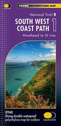
- Map 1 – Minehead to St Ives
- Map 2 – St Ives to Pylmouth
- Map 3 – Plymouth to Poole
This map is bio-degradable
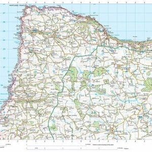
Information on finding accommodation, camping, food. Directions to the start. Also Ranger Service contact numbers and enlargements of towns/villages showing facilities available and tips on weather and clothing
Detailed mapping, full legend. National Grid – can be used with GPS. 1:40,000 scale. Waterproof. Supplied in clear plastic pocket

Reviews
There are no reviews yet.